Introductions
The regions of Canada are significantly variable, with each of them having its own climate, terrain, traditional industries, and history. These characteristics are helpful in completing the given task, which is to examine five pictures and to determine which five regions from a list of six they correspond to. Based on the landscapes and the industries shown in the pictures it may be assumed that they depict, in order, British Columbia, Atlantic Canada, Quebec, Ontario, and Western Canada.
Identification and Explanation of Images

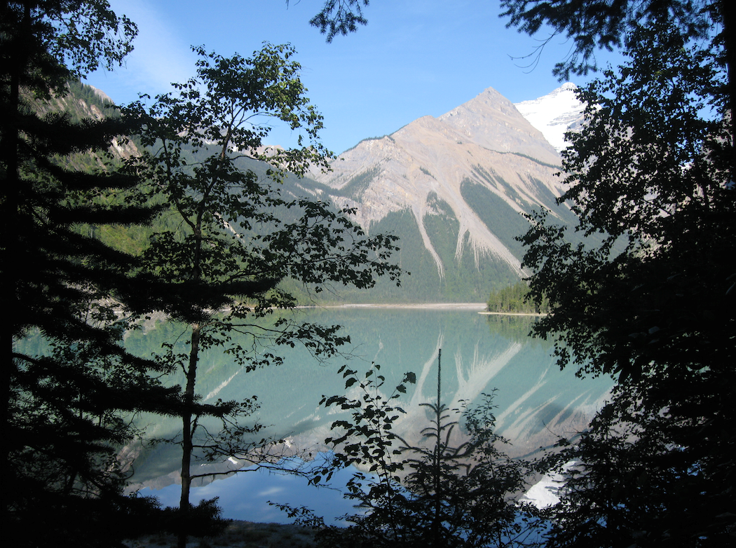
The first picture likely depicts British Columbia as there is a mountain on it, and the mentioned area is known for its mountains. The Rocky Mountains cause both a physical and a political divide there (Bone, 2018). Because of the combination of two types of climate and the terrain, there is a wide difference of ecosystems. There is a large body of water on the picture, which may be the ocean or a large lake. If it is indeed the ocean, then the mountain is part of the Coast Mountains, rather than the Rocky Mountains. Nevertheless, it is part of British Columbia in any case.

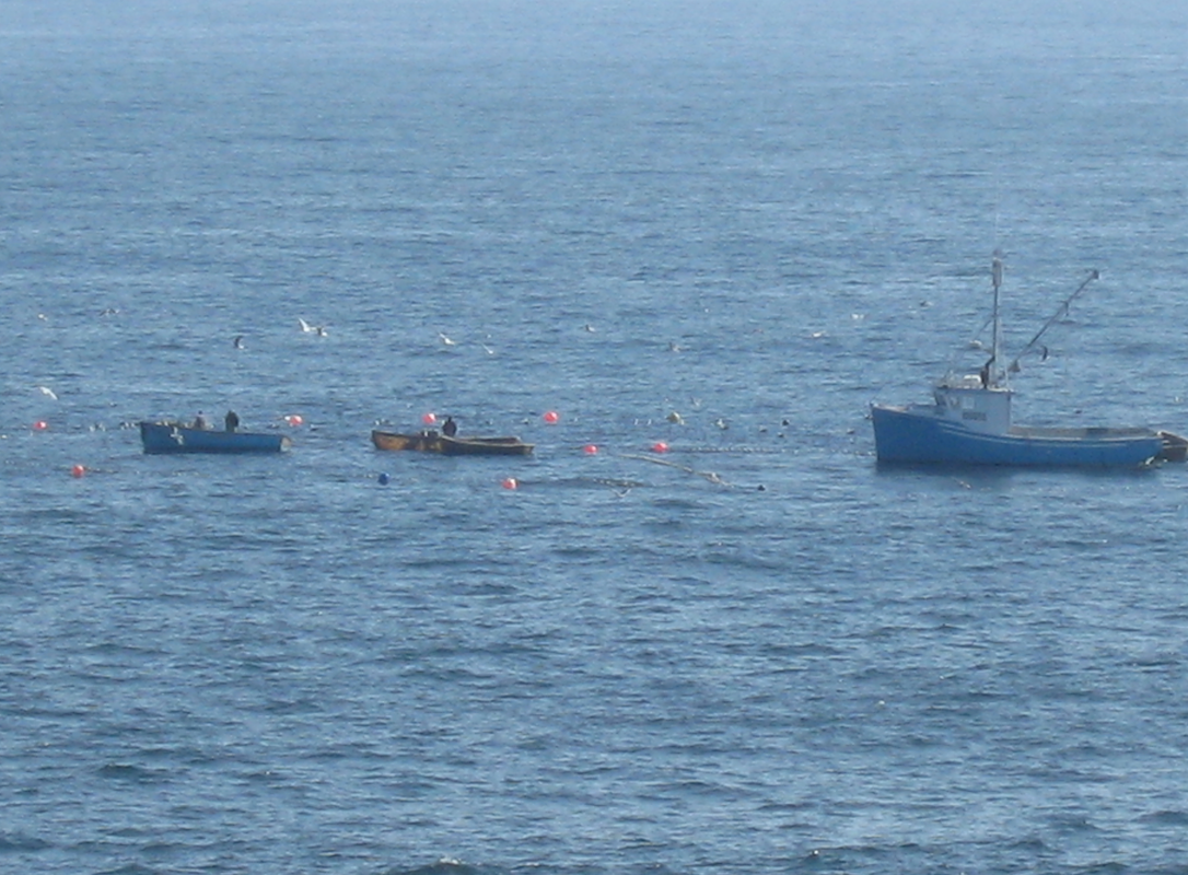
The second image is likely Atlantic Canada, as there are fishermen on it, while the most popular fishing region of Canada is Nova Scotia, which is a part of Atlantic Canada. It has a long story of cod fishery, which has dominated this region since its early days (Bone, 2018). In later times, however, petroleum developments and advanced fishing technologies causing the collapse of the cod fishery (Bone, 2018). In the recent times, cod fishing has started a recovery, but federal officials limit it (Bone, 2018). Thus, taking the importance of fishing into account, the second picture likely depicts Atlantic Canada.

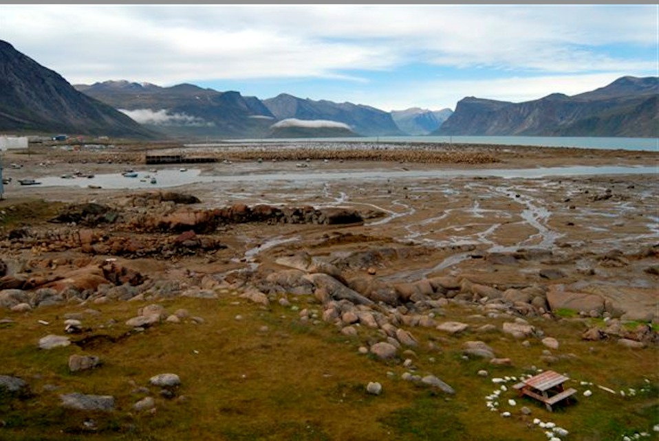
The third picture looks like both Ontario and Quebec, with their famous woods and the Great Lakes. However, as there is a second possible option for Ontario, Quebec is the most likely province to be on this picture. The picture likely shows a part of The Great Lakes or St. Lawrence River. It may be a remaining marine deposit of the retreated Champlain Sea as well (Bone, 2018). Multiple factors such as the region’s location near the industrial United States, its environment and climate have made Quebec the most populous region in Canada (Bone, 2018). Considering all of the information mentioned above, it is likely that the picture depicts Quebec.

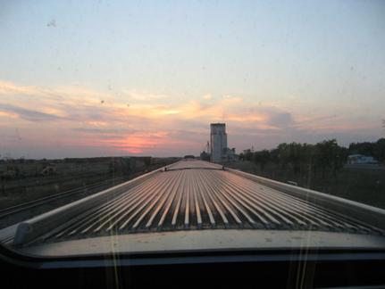
The fourth picture may be Ontario, as it is famous for its automobile industry, and on the picture the camera is ‘riding’ a truck. Automobile manufacturing in Canada has little perspective in the future (Bone, 2018). Still, there are options to improve the situation, if the Ontario industry is converted into a high-tech research base improving the production models (Bone, 2018). However, this is a matter of the future, and currently the automobile industry that was once crucial for the Ontario economy has regressed, and Ontario is becoming poorer. Thus, like Atlantic Canada, the photo depicts the main traditional industry of the region which is currently dwindling.

Lastly, the fifth picture might have been taken in Western Canada as it depicts something similar to Alberta’s oil sands, and Alberta is situated in Western Canada. They symbolize all the right and wrong aspects of Alberta’s economic development (Bone, 2018). The oil sands produce 1.8 billion litres of toxic water every day (Bone, 2018). Still, Alberta’s oil sands are the most profitable of the region’s natural resources, driving the economy and creating job opportunities. The Canadian Association of Petroleum Producers forecast a significant increase in production (Bone, 2018). Thus, it is possible that the picture in question depicts Western Canada.
Conclusion
Thus, the pictures correspond to regions in the following order: British Columbia, Atlantic Canada, Quebec, Ontario, and Western Canada. The most significant attributes that helped the identification are the terrain and the regions’ traditional industries and natural resources. The most troubling problem is that the traditional industries of Atlantic Canada and Ontario are currently dwindling, and, while Ontario has options to overcome it, Atlantic Canada’s attempts at revival of their craft faces no support from the government.
Reference
Bone, R. M. (2018). The regional geography of Canada. (7th ed.). Oxford University Press.