Introduction
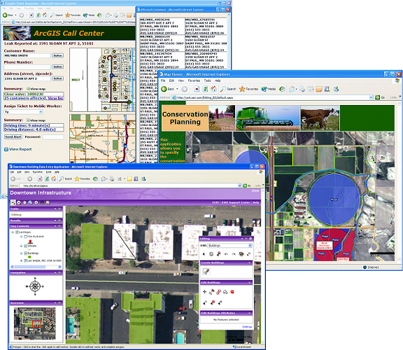
The ArcGIS Server technology is an important innovation, which has enhanced geographical activities. ArcGIS server technology offers a suitable platform for delivery or sharing of GIS resources to users in different locations. Resources like maps can be efficiently delivered to a wider community by using this technology.
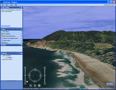
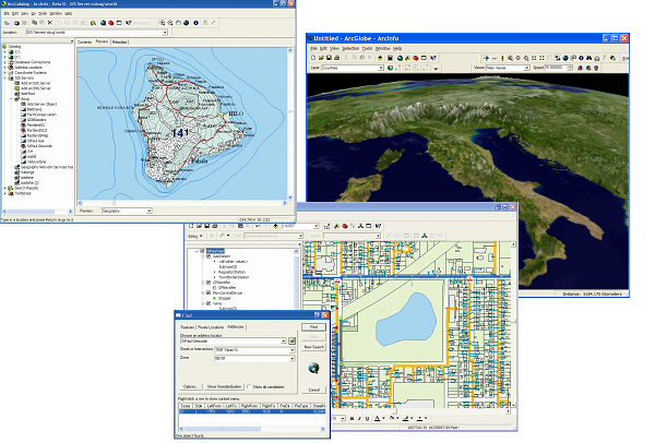
Users can access and view the maps either using the internet or ArcGIS Desktop. This essay will discuss the advantages and disadvantages of Web-based electronic maps delivered to end users using ArcGIS server technology.
Electronic maps shared using ArcGIS are advantageous in the sense that they can be shared across an enterprise through the web. The issue of convenience is greatly enhanced by ArcGIS technology, thus making the end users to access or receive the maps at their own convenience.
The maps are centrally managed and offer users with up-to-date information. From another perspective, web-based maps delivered using ArcGIS supports multiple users. This is because a common platform is used, where the maps can be accessed by different users simultaneously.
Maps delivered through ArcGIS are beneficial in the sense that the user is able to gain access to the GIS functionality. The user is able to interact with the map, like finding the closest restaurant, school, hospital, or bank (Esri.com 1).

ArcGIS server technologies enable Virtualization in delivery of web-based maps. This reduces costs of ownership, thus making the maps relatively cheaper. The technology facilitates faster application delivery of the maps. The availability of the maps is higher since they are shared under a common platform where users have access.
It should be noted that the maps have inexpensive disaster recovery options, since the security levels of the storage is high. The issue of quality cannot be underestimated, whereby web-based maps delivered through ArcGIS have of higher quality. Finer details can easily be seen in the maps thus making them more relevant to users.
The level of flexibility in using the maps is high, whereby new machines can be added for more clients as well as change of system configurations to adapt to new demands. The maps can easily be customized and are robust in regards to data loss or system crash (Taylor 6).

On the contrary, Web-based electronic maps delivered through ArcGIS are sophisticated and not user friendly. People who are computer and internet illiterate may face challenges in using the maps. With the rising cyber crimes and terrorism, the maps are not secure and can be easily vandalized. This is because they are easily available on the internet, thus unauthorized users may interfere with them (Esri 7).

Conclusion
ArcGIS server technology is a great revolution in the geographic field, which has facilitated the delivery and access of web-based electronic maps to a wider community. These maps are easily accessible from different locations, hence boosting convenience.
The issues of quality, customization, Virtualization, multiple users, central management and provision of up-to-date information are possible with ArcGIS. Nevertheless, the maps are sophisticated due to the ArcGIS platform used thus making them challenging to different users. The maps should hereby be embraced for their far reaching advantages.
Works Cited
Esri 2010, ArcGIS® Server and Virtualization. Web.
Esri.com. 2012, ArcGIS Server Help. Web.
Taylor, Amanda 2012, ArcGIS Server: A Complete and Integrated Server GIS. Web.